Walk 4 - Battlefield Way
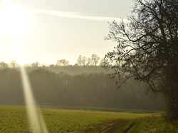
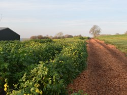
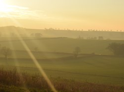
From opposite the old Post Office in Banbury Lane, walk along the bridle way or concrete road (originally built during WW11 for army tanks); carry along past the back of Danvers House and the football field, down the hill, over the recently constructed gallops and under the old railway bridge. The path passes the wood planted by villagers and school children to celebrate the Queen’s Diamond Jubilee. The bridleway (and the horses had made it extremely muddy when I walked it) then crosses the stream, up the hill which is the main climb of the walk, to the top and then down the other side. This side crosses the route of HS2 and fences have been built to enclose the area. At the end of the field a short left turn and then on to ‘The BattlefieldTrail ’ a path named to link three of Britain's most important battlefields: · Edgcote (1469) in Northamptonshire · Cropredy Bridge (1644) in Oxfordshire · Edgehill (1642) in Warwickshire. This part of the walk passes Danesmoor, the site of the Battle of Edgcote (1469) on the left of the new HS2 route.
Carry straight along this path most of which follows the new HS2 route and so will be changing radically over the next year or so. At the road turn right, just a short distance, and then left, through some trees and over a stile. The footpath goes diagonally across the field to another stile in the right-hand hedge. (This is a relatively new footpath and therefore not shown on old maps.) The path follows the hedge, keeping the hedge to your right all the time. There is a lack of waymarkers but the route is easy to follow since it runs parallel with the road. Head towards Wadground Barn, a rather atmospheric disused barn. The footpath (marked) goes through the old farmyard, then over a bridge, through a small copse and then follow the path, keeping the stream and hedges on the right. (The footpath crosses a field, then another field, cross the bridge on the right and follow the path to the corner of the field. You are now at the bottom of the hill in Culworth, and all you must do is climb the hill back into Culworth.) However, I couldn’t find that path and made my way round the side of the field coming out to the road at what is known as the Washbrook - a part of the stream where traditionally the villagers came to do their washing. Follow the road back into Culworth.
This walk takes about 2 hours with a short rest at the top of the long climb up from the old railway bridge.


